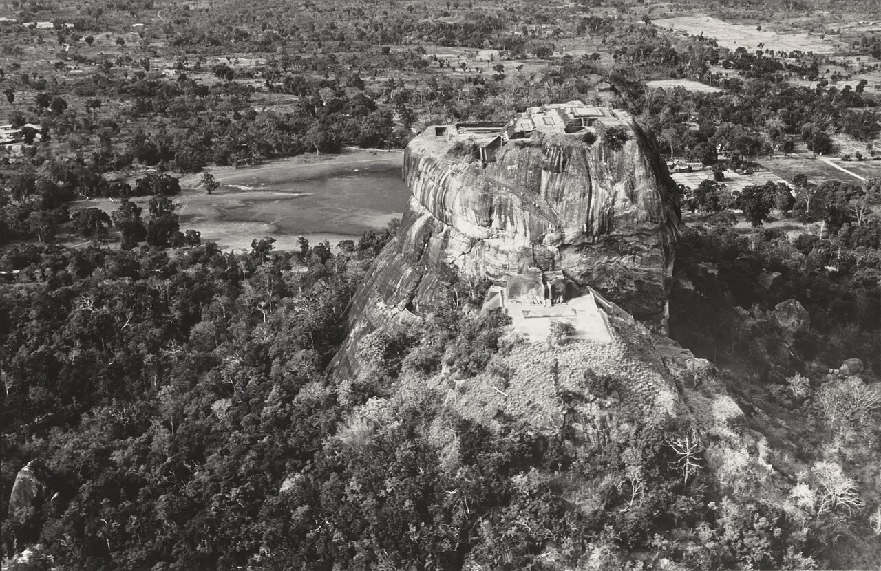
The UNESCO aerial reveals the palace foundations spread across Sigiriya's flat summit — audience hall, residential quarters, bathing pools, cisterns carved into the bedrock. From here, an incoming army was visible for dozens of kilometers in every direction. It didn't help.
© Alexis N. Vorontzoff, CC BY-SA 3.0, via Wikimedia Commons